



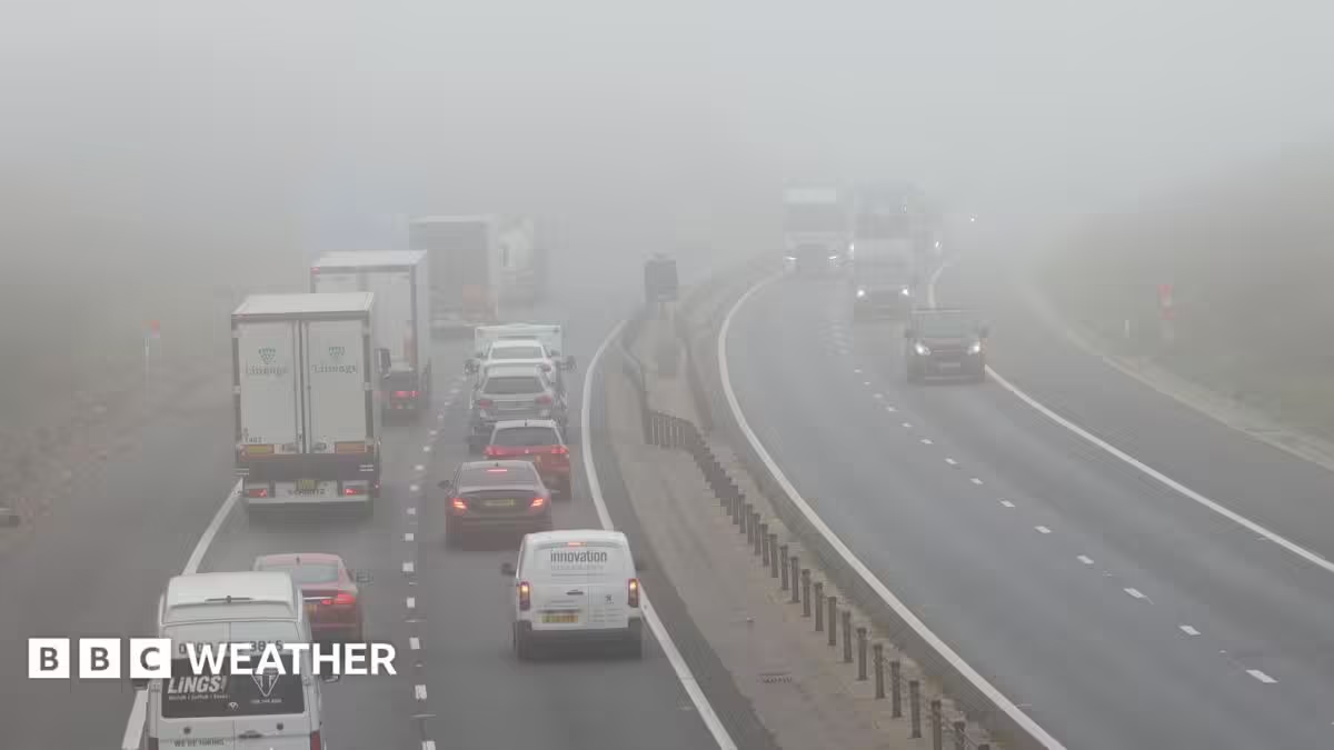

Fog is not unusual at this time of year, especially as the nights become longer and the sunshine weaker.
High pressure can often last for days meaning the air mass does not change and becomes stagnant.
However, this week the forecast is looking changeable.
An area of low pressure towards the south-west of the UK will push weather fronts northwards across England and Wales.
This will bring cloud, rain and brisk easterly winds later on Tuesday, making fog unlikely here on Wednesday morning.
It could still form to the north of the fronts across Northern Ireland and Scotland, however, and is most likely to develop across the Central Belt and the glens of the south.
Towards the end of the week, a cold front will sweep southward introducing a northerly wind and arctic air with a lower dewpoint.
This means widespread fog will become much less likely, although there will be morning frosts.
Source: www.bbc.com